news
How Park Slope's Street-Sign Photo Problem Became a Bureaucratic Snarl Years in the Making
The borough's patchwork approach to duplicate and outdated street imagery has left community boards, local businesses, and city agencies chasing their own tails.
How we reported this
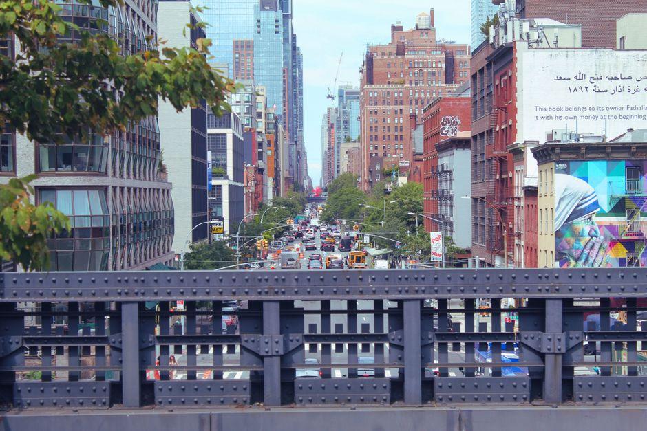
For years, the same cracked sidewalk in front of the Old Stone House on Third Street showed up twice in the city's municipal property database, one image dated 2019, a second from 2021, both tagged to the same geo-coordinate, neither marked as superseding the other. That kind of redundancy, multiplied across thousands of blocks in Community Board 6's territory, is the quiet bureaucratic mess that city infrastructure managers have been trying to unwind since at least 2023.
The issue matters now because Brooklyn's capital repair cycle is accelerating. The Department of Transportation has been working through a multi-year curb-cut and sidewalk-replacement program that runs along Seventh Avenue from Flatbush Avenue up through the Ninth Street corridor, and accurate photographic records are supposed to anchor every work order. When two images exist for the same location, one showing damage, one showing a completed repair, crews have shown up to fix infrastructure that was already fixed, or skipped sites that still needed work. The duplication problem is not abstract. It costs time and money.
The roots of the problem go back to the city's shift from contracted photographic surveys to in-house mobile mapping around 2017 and 2018. At that point, legacy image sets from vendors like Cyclomedia were never fully purged from the system. They were layered underneath the new data rather than replaced. Community Board 6, which covers Park Slope, Carroll Gardens, and Red Hook, began flagging the discrepancies in its 2022 annual infrastructure report after local advocates noticed that tree-pit complaints submitted through 311 were being closed as duplicate requests, even when the underlying photo showed a different condition entirely.
A Neighborhood That Exposed the Seams
Park Slope became a focal point for the problem partly because of its density of historic brownstone blocks and partly because Prospect Park West had been resurveyed three separate times between 2018 and 2024, once as part of a Vision Zero audit, once after the protected bike lane reconstruction, and once during a street-tree inventory. Each survey generated its own image set. None of the three was formally retired when the next came along. The Grand Army Plaza entrance to Prospect Park, a high-traffic node that appears in all three datasets, ended up with six distinct geo-tagged images attached to a single lamppost coordinate.
The Fifth Avenue Business Improvement District, which runs from Union Street down to 18th Street, has dealt with a related headache. Storefront-level imagery used by the BID's façade-improvement grant program, a $2,500-per-storefront matching grant that has been running since 2020, depends on current street-view photography to establish before-and-after baselines for compliance reviews. When the photo database serves up a 2019 image instead of a 2024 one, grant administrators have had to request manual re-shoots, adding weeks to an already slow approval process.
Where Things Stand Heading Into 2026
The city's Department of City Planning acknowledged the duplicate-image issue in a March 2025 memo circulated to all five borough offices, describing a remediation protocol that would tag older images with deprecation flags and establish a master-record hierarchy. That protocol was scheduled for full implementation by January 2026 in Brooklyn's Priority Zone 2, which includes Community Board 6. As of this July 4 holiday weekend, local board members say the rollout has been partial at best, with some blocks on Garfield Place and Eighth Avenue still showing unresolved duplicates in the public-facing NYC Open Data portal.
For residents and small-business owners trying to navigate permit applications or infrastructure complaints this summer, the practical advice is straightforward: when submitting a 311 request or a DOT service ticket, attach your own photographs with a timestamp and cross-street reference rather than relying on whatever image the system auto-populates. The BID office at 460 Fifth Avenue can also assist local merchants in documenting current storefront conditions independently of the municipal photo record. The city's data hygiene problem may take another budget cycle to fully resolve, but residents do not have to wait for Albany or City Hall to catch up.